Pause Audio
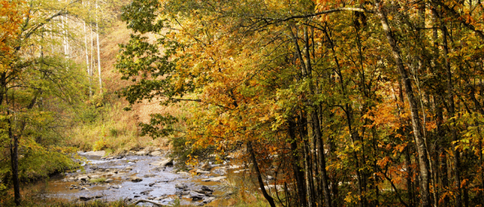
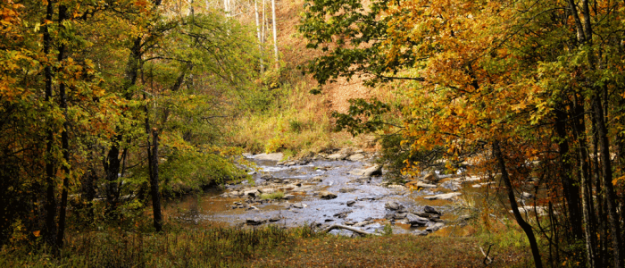
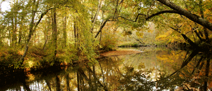
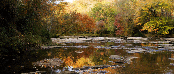
The Bank comprises 643.79 acres within a 2,449-acre tract of land in Starr, South Carolina (-82.777031, 34.354126 Decimal Degrees). A total of 90,722 linear feet of stream and 4.67 acres of wetlands are contained within the 643.79-acre bank. All 643.79 acres of the Bank and aquatic resources will be protected under conservation easements. The Bank is located within the Upper Savannah River Basin, hydrologic unit code 03060103(8 digit)/03060103-04(10 digit)/03060103-0402(12 digit), roughly northeast of the confluence of the Big Generostee Creek and the Savannah River. The confluence is located on the Savannah River south of the outflow from Lake Hartwell in Anderson County. The northeast portions of the combined property boundary are bound by SC Highway 187 South to its intersection with Big Generostee Creek Church Road, which bounds the northern portion of the combined property boundary and on the south by Highway 181/187.
The location of the Bank lands and current functional characteristics make it highly suitable for stream restoration, buffer enhancement and preservation of the existing streams. Completion of mitigation activities through restoration, enhancement and preservation will result in a positive effect in the overall functional values of stream components in the area. It should also be noted that the streams flow into Big Generostee Creek which eventually flows directly into the Savannah River. Twenty-two watersheds are located south of the Big Generostee Creek and Savannah River confluence that provide significant wildlife habitat through the preservation and management of forested and aquatic areas designated for general public use. Site soils are generally classified as Sandy Loam.

